Rhian Addison (2017 – 2023)
Landscape Artists’ Studios in the Age of Exhibitions, London, 1780–1850
Dr Richard Johns, University of York | Amy Concannon, Tate Britain
Caroline Anjali Ritchie (2019 – 2023)
Visionary Mapping in the Work of William Blake
Professor Jon Mee, University of York | Amy Concannon, Tate Britain
The Spatial 18th Century: Rethinking Urban Networks and Maps was an online interdisciplinary symposium organised by Caroline Anjali Ritchie and Rhian Addison McCreanor, both Collaborative Doctoral Students at Tate Britain and the University of York. The event was generously supported by the Paul Mellon Centre for British Art and the CDP Student Led Activity Fund. Between both sets of funds, we were able to invest in speaker attendance and ensure accessibility measures could be followed, including live-captioning. The core values of the event were the progression of the visual arts; interdisciplinary discussion; and inclusivity across all career stages, disciplines, backgrounds, demographics, countries and cultures. The day explored and challenged modes of spatial representation in, and of, 18th-century cities. Whilst the topics of the papers were broad, spanning the eighteenth century, across topics, and global, they all used modern technology to analyse and reinterpret networks and maps from the pre-digital age. Furthermore, hosting on Zoom ensured that those researching niche topics were able to network with delegates they were unlikely to meet otherwise.
The panels were grouped thematically to ensure that discussions were moved across disciplines and methodologies. Our panels were entitled ‘Deconstructing the map: colonialism, slavery, and empire,’ ‘Reconstructing spaces,’ and ‘Mapping local networks: gender and commerce.’ These themes were designed to register the fact that the 18th Century was a time of great social inequality and massive colonial expansion, and many of these structures of subjugation have been re-inscribed in spatial representations of the metropolis. Speakers had the opportunity to demonstrate how their research used spatial modelling to confront this genealogy.
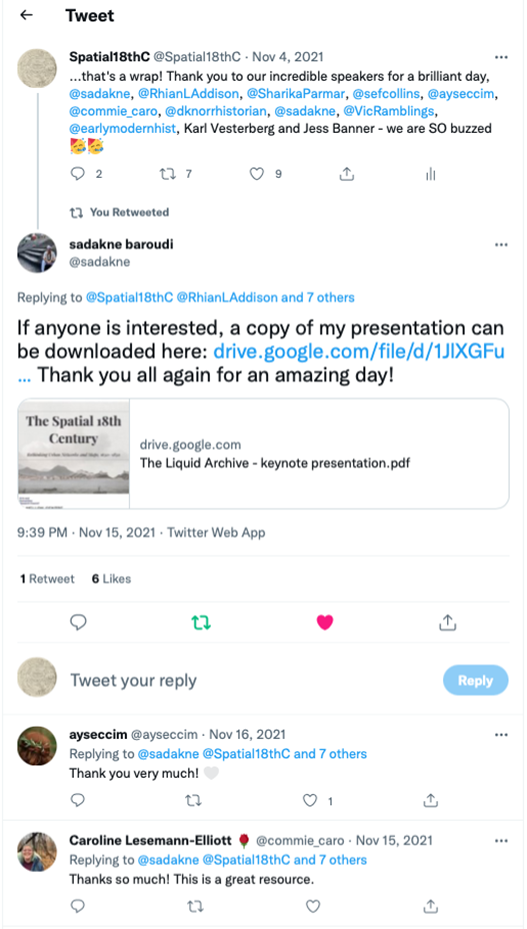
We engaged independent scholar Sadakne Baroudi as our keynote speaker. Their paper ‘The Liquid Archive: Mapping Kongo/ N’golan Cosmology in Colonial Rio de Janeiro’ evoked an emotional and energetic response from delegates. Most notably, Baroudi drew on N’golan cosmology to ‘map’ the experiences of enslaved peoples arriving into Rio de Janeiro. Rather than engaging with colonial mapping, which quantified people, the N’golan perspective, to an extent, reinstated the emotive response of these marginalized voices.
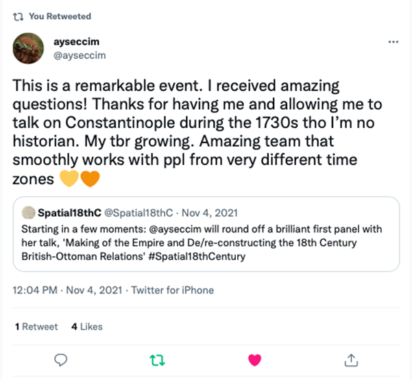
As well as being global in its thematic scope, ‘The Spatial 18th Century’ welcomed a wide, international body of participating scholars. In planning the event, we had built up a contact database and significantly developed our international network through email and Twitter to generate a global speaker list. As well as hosting speakers based in 7 different countries (India, Brazil, England, Germany, Sweden, Turkey, and Canada), 101 delegates from 22 countries outside of the UK signed up for the event via Eventbrite. There was an attendance rate of just under 50% on the day itself.
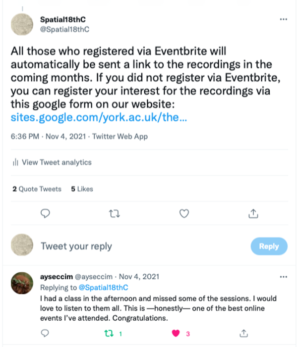
True to its title, the event was an opportunity for speakers and delegates to ‘rethink’ many aspects of their research, which became evident in the lively Q&A discussions following each panel and the roundtable held at the end of the day. Since the event, the network has remained active on Twitter and YouTube, especially with the release of the recorded presentations via YouTube in May 2022, which have attracted roughly 50 views in the space of a few weeks. Recording the event was an important aspect of our accessibility plan, since it would enable delegates to hear the presentations in the event that they were unavailable on the day, the time-zones were incompatible, or they wished to re-visit any of the papers. The videos are still accessible via request to rla519@york.ac.uk or car566@york.ac.uk .
The Spatial 18th Century stemmed from our feelings of isolation as users of modern technologies which had not yet become standard practice in our academic departments. In short, The Spatial 18th Century provided the platform we needed to reach out to other academics who felt similarly, and in doing so created a new community who can go onto collaborate and learn from one another in the future.
Rhian Addison McCreanor and Caroline Anjali Ritchie
Conference website: The Spatial 18th Century (google.com)